Territory & Turf Management
Cut turf to match your strategy, not somebody else’s template.
How territories work
Three pieces do the work: the map, the groups, and the assignments.
Precision Turf
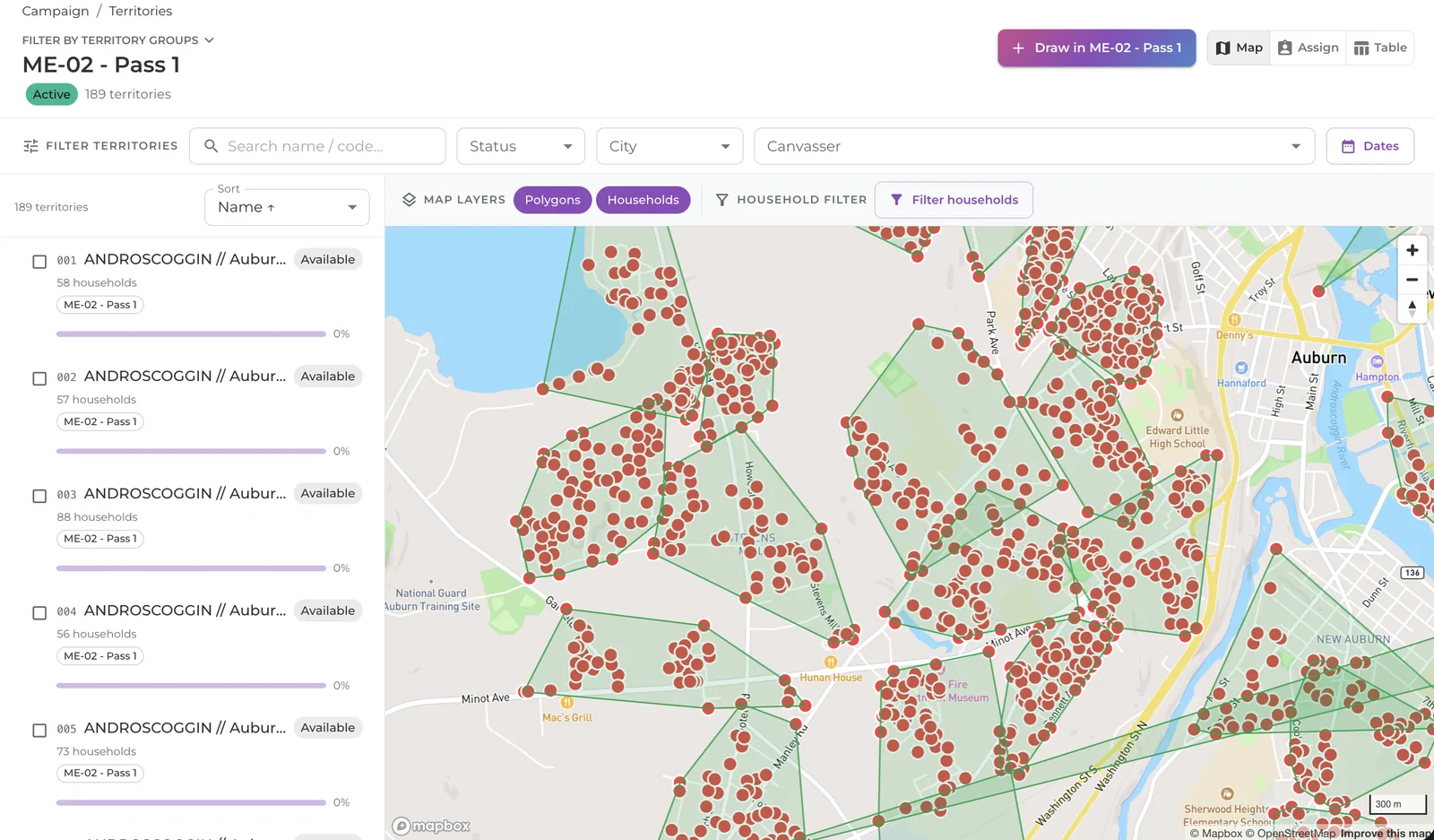
Cut territories at the household level, so canvassers know which doors are theirs and no door belongs to two people.
- Polygon territories
- Household-level visualization
- No overlaps inside a program
- Re-walks supported across programs
Territory Groups
A single campaign can run persuasion, GOTV, and a petition drive at once without collisions, because each group keeps its own schedule, scope, and script.
- Per-group ownership and status
- Households scoped per group
- Scripts assigned at the group level
- Maps, reports, and exports filter by group
Assignments
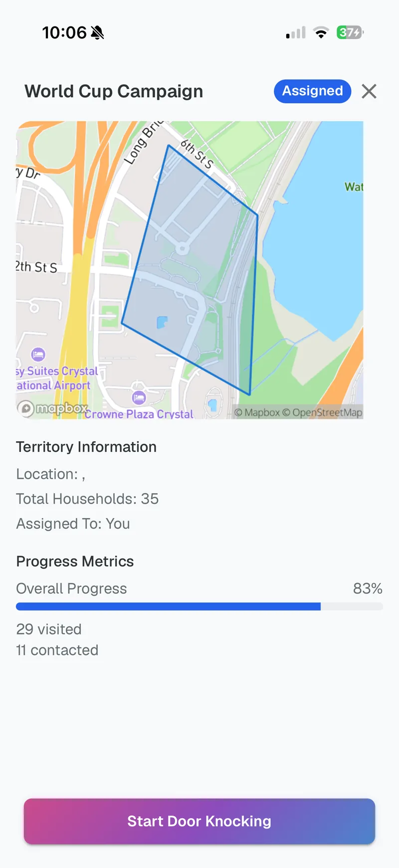
Turf can be assigned by staff or claimed by canvassers themselves, and the same rules hold either way: self-serve claiming with reminders built in, plus the reservations, assignment limits, and stalled-turf deadlines governance enforces automatically.
You can see all of it
Territory is where most field tools show their age: turf gets cut in one system, printed to PDF, assigned over text message, and tracked in a spreadsheet that’s wrong by Thursday. When a program runs persuasion, GOTV, and a petition drive at once, those spreadsheets multiply, and staff spend evenings reconciling who is walking what instead of recruiting more walkers.
In TouchStone, territories are polygons on a live map with household-level detail inside them. Territory groups keep parallel programs — each with its own scripts, targets, and teams — from tripping over each other, while assignment rules hold whether staff hand turf out or canvassers claim it themselves.
You can see which turf is claimed, which has stalled, and who’s carrying the load, live, not in tomorrow’s export.
Stalled turf frees itself back up after the deadline you set. Nobody has to chase it down.
This is the backbone of distributed canvassing: the structure that makes self-serve turf safe.
Put your program on the map
We’ll draw turf, build groups, and show you live progress on real software.